

FAQs
Here are answers to the most common questions about hiking on Mammoth Mountain.
Can you hike to the top of Mammoth Mountain?
Yes. The Mammoth Mountain Trail is a strenuous 7-mile round-trip from Main Lodge to the 11,053-ft summit. You can also take the Panorama Gondola up and hike down via the Dragon's Back Trail.
How tall is Mammoth Mountain?
The summit sits at 11,053 feet. The Eleven53 Interpretive Center at the top takes its name from that elevation.
Is the shuttle free for hikers?
Yes. The Mammoth Bike Park Shuttle is free for hikers and sightseers. The Panorama Gondola requires a separate ticket.
When does hiking on Mammoth Mountain open?
Typically late June, depending on snowpack. Check Mammoth Trails or stop by the Mammoth Lakes Welcome Center for current conditions.
What elevation are the trailheads?
The Main Lodge trailhead sits at approximately 8,900 ft. The gondola takes you straight to the summit at 11,053 ft

More Ideas For Hiking & Backpacking In Mammoth Lakes

Trip Ideas
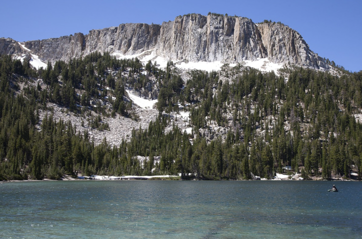
Hiking in the Mammoth Lakes Basin
The Mammoth Lakes Basin is one of the most beautiful corners of the Eastern Sierra, a high-alpine playground of pine forests, jagged peaks, wildflowers, and crystal-clear lakes. Located just minutes from town, the Lakes Basin offers quick access to dozens of trailheads and over 100 miles of designated routes leading into the John Muir Wilderness and deeper into the Sierra…
Learn More

Trip Ideas
Hiking Just Outside of Mammoth Lakes
Mammoth Lakes is surrounded by two million acres of Inyo National Forest with dozens of hiking trails. Trailheads just outside of Mammoth Lakes offer even more opportunities to explore the mountains, lakes, creeks and forest of the Eastern Sierra.
Learn More
Related Content

2510 Main Street
Mammoth Lakes, CA 93546
(760) 924-5501

10001 Minaret Road, Via Mammoth Mountain Scenic Gondola
Mammoth Lakes, CA 93546
(800) 626-6684
Website