PLAN YOUR ADVENTURE

2510 Main Street
Mammoth Lakes, CA 93546
(888) 466-2666
MORE POSTS LIKE THIS

Activities
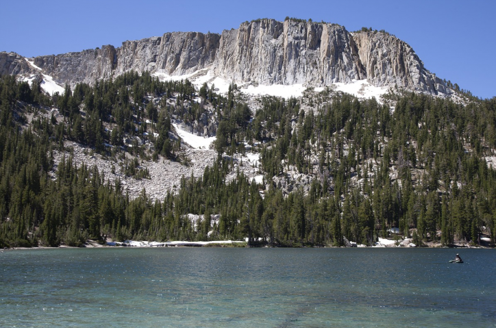
Enjoying the Mammoth Trails System in Winter
Snow doesn’t fall just on the ski area. The surrounding peaks and valleys and trails provide endless opportunities for adventure.
Learn More

Activities
Navigating Mammoth Mountain’s Trails and Lifts
The vast variety of terrain—open bowls, steep chutes, friendly groomers and off-piste trees—is why many skiers visit Mammoth Mountain time and again.
Learn More
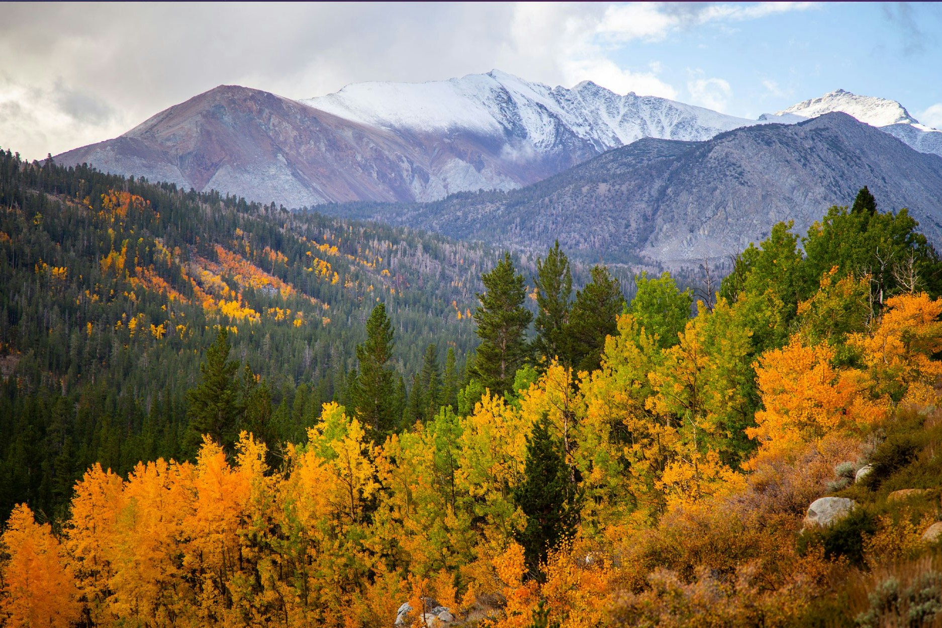
Go see fall colors
Where to Find Fall Colors in Mammoth Lakes This Week
Welcome to our fall color guide! From the beginning of autumn until the first snow (typically sometime after Labor Day until mid-to-late October) Mammoth Lakes visitors are on the lookout for the best fall colors in the Eastern Sierra. Fall 2025 was amazing, thank you for joining us! Check back next season and sign up for the newsletter to stay…
Learn More